


Queensland Drones
Australia, Brisbane
Queensland Drones is one of Australia's longest established commercial drone services providers.

Main Services:
Aerial Mapping, Asset Inspection, Aerial Photography, Aerial Video, Virtual 3D Models, Infrastructure Maps, Crop Health Maps, Thermal Inspections, Topographic Maps, Water Flow Mapping
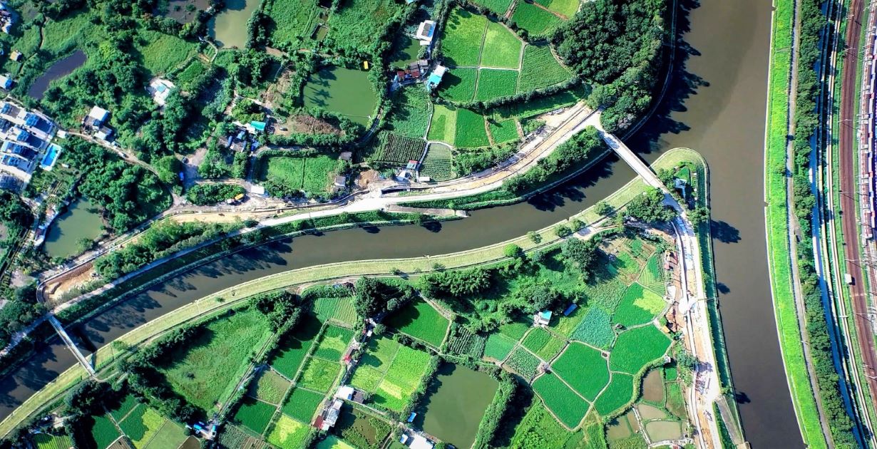
Queensland Drones is one of Australia’s longest established commercial drone services providers. Specialising in aerial mapping and asset inspection, we partner with engineers, surveyors, building designers, architects, agronomists and even other drone service providers to deliver amazingly precise aerial imagery and 3D models. We are CASA certified, fully insured and can travel anywhere to deliver our professional drone services which include aerial video and photography, 360 degree view projections, as built photography, construction progress tracking, volumetric measurement, water flow modelling, topographic mapping, thermal imaging, contour mapping, 3D virtual models, infrastructure maps and much more. Contact us for a free consultation.